Images

×


Promotions
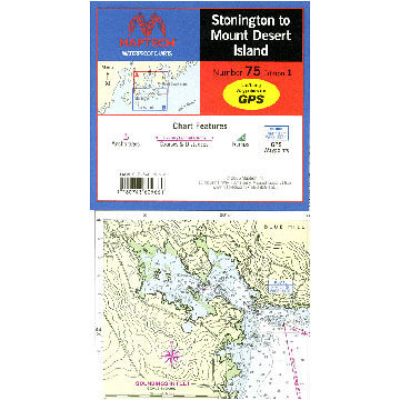
Maptech Stonington to Mount Desert Island Waterproof Chart
$29.95
Whether your passion is cruising, fishing, day-sailing, or anything else that involves getting from one place to another, Maptech® helps make your time on the water more enjoyable - and a whole lot easier.
Maptech - Nobody makes navigation easier.

Maptech - Nobody makes navigation easier.
| Description | Price | Qty |
|---|---|---|
WPC075More Info |
$29.95 |