Images

×


Promotions
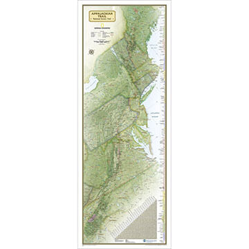
Appalachian Trail Wall Map by National Geographic
$23.99

Maps have been a cornerstone of National Geographic® since they were published in the first issue of the magazine, in October 1888. The year 1915 witnessed the founding of the Map Department, which evolved into today’s National Geographic Maps®.
Whether you're dreaming of places, planning a holiday or hike, or learning about the world, National Geopgraphic® offers hundres of Travel, Trail and Wall maps to guide your exploration.
| Description | Price | Qty |
|---|---|---|
RE01020716More Info |
$23.99 |